Getting around · MMY
Trains, drive times and getting to Monty
For a leafy outer suburb, Monty is well connected. There is a station on the Hurstbridge line, easy road links, and the Plenty River Trail if you would rather walk or ride.
By train
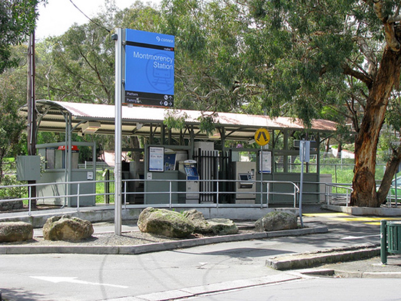
Montmorency station (code MMY) is on the Hurstbridge line, about 25 km from Southern Cross and inside Myki Zone 2. It first opened in 1923 and was rebuilt in 2023, so it is now step-free with around 90 car spaces. Trains run into the city one way, and out to Eltham and Hurstbridge the other.
By road
The CBD is about 18 km away. Monty borders Greensborough, Eltham and Lower Plenty, so the bigger shops and centres are a short drive. Sherbourne Road and Para Road carry most of the through traffic.
On foot or by bike
The Plenty River Trail runs through the suburb as a shared path. It is a genuinely nice way to reach the ovals or the next suburb without getting in the car.
Hurstbridge line
Code MMY · Myki Zone 2 · rebuilt 2023 · step-free access.
To the CBD
About 18 km to central Melbourne via the north-east road network.
Plenty River Trail
Shared walking and cycling path connecting parks and suburbs.
Once you're here